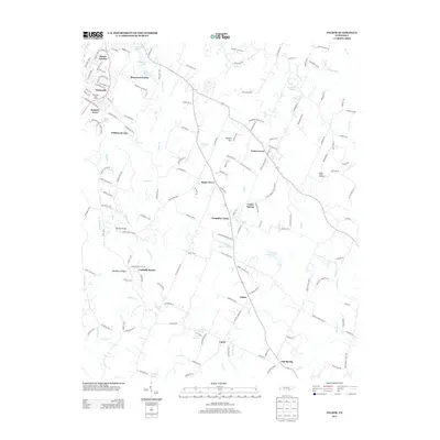
2013 Map of Felker
USGS Topo · Published 2013About this map
Pumpkin Center and Sugar Grove anchor this Tennessee landscape, where the headwaters of numerous creeks carve through the terrain east of Cleveland. The area is characterized by a mix of established rural communities and residential pockets such as Waterville and Bennett Acres. Agricultural heritage is evident at Apple Valley Orchards and the Coahulla Ranch, while the name Ramsey Bridge marks a significant crossing over Coahulla Cr.
Find a feature on this map
165 named features on this map. Tap any name to fly to it.
Don’t see what you’re looking for? This feature index may not catch every label — zoom into the map to look around manually.
Map Details
Editions of this 2013 Felker Map
This is the sole edition of this map. No revisions or reprints were ever made.
Other maps of this area

1886 · Dalton
USGS Topo · 1:125,000

1886 · Cleveland
USGS Topo · 1:125,000

1892 · Cleveland
USGS Topo · 1:125,000

1892 · Dalton
USGS Topo · 1:125,000

1895 · Cleveland
USGS Topo · 1:125,000

1897 · Dalton
USGS Topo · 1:125,000

1901 · Cleveland
USGS Topo · 1:125,000

1911 · Cohutta Mtn
USGS Topo · 1:62,500

1913 · Cohutta Mtn.
USGS Topo · 1:62,500

1935 · East Cleveland
USGS Topo · 1:24,000