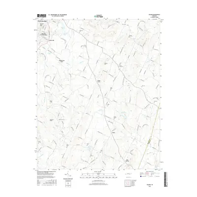
2016 Map of Felker
USGS Topo · Published 2016About this map
Cleveland and South Cleveland mark the urbanized western edge of this 2016 survey, where the Tennessee Valley Divide separates the watershed near Waterville. Moving eastward, the landscape transitions into a series of smaller rural communities and agricultural valleys defined by Coahulla Creek and Mill Creek. The map is particularly rich in genealogical data, preserving the locations of numerous family and community burial grounds such as Macedonia Cemetery and Samples Memorial Cemetery. Local landmarks like Million Hill and the Blackburn Ridges rise above the drainage systems of Wolf Branch and Carter Branch. The southeastern corner transitions into Polk County near Gap Spring, where the terrain begins to slope toward the Conasauga River. This detailed layout illustrates the modern road network, including Dalton Pike, as it connects historic settlements like Sugar Grove and Felker.
Find a feature on this map
147 named features on this map. Tap any name to fly to it.
Don’t see what you’re looking for? This feature index may not catch every label — zoom into the map to look around manually.
Map Details
Editions of this 2016 Felker Map
This is the sole edition of this map. No revisions or reprints were ever made.
Other maps of this area

1886 · Dalton
USGS Topo · 1:125,000

1886 · Cleveland
USGS Topo · 1:125,000

1892 · Cleveland
USGS Topo · 1:125,000

1892 · Dalton
USGS Topo · 1:125,000

1895 · Cleveland
USGS Topo · 1:125,000

1897 · Dalton
USGS Topo · 1:125,000

1901 · Cleveland
USGS Topo · 1:125,000

1911 · Cohutta Mtn
USGS Topo · 1:62,500

1913 · Cohutta Mtn.
USGS Topo · 1:62,500

1935 · East Cleveland
USGS Topo · 1:24,000