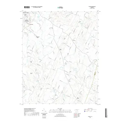
2019 Map of Felker
USGS Topo · Published 2019About this map
Cleveland and South Cleveland mark the urban expansion at the western edge of this survey, where the Tennessee Valley Divide separates the watershed. Moving east, the landscape transitions into a network of small rural settlements like Sugar Grove, Felker, and Waterville. These communities are defined by their proximity to numerous water sources, including Wildwood Lake, Jersey Meadow Lake, and the winding Coahulla Cr.
Find a feature on this map
140 named features on this map. Tap any name to fly to it.
Don’t see what you’re looking for? This feature index may not catch every label — zoom into the map to look around manually.
Map Details
Editions of this 2019 Felker Map
This is the sole edition of this map. No revisions or reprints were ever made.
Other maps of this area

1886 · Dalton
USGS Topo · 1:125,000

1886 · Cleveland
USGS Topo · 1:125,000

1892 · Cleveland
USGS Topo · 1:125,000

1892 · Dalton
USGS Topo · 1:125,000

1895 · Cleveland
USGS Topo · 1:125,000

1897 · Dalton
USGS Topo · 1:125,000

1901 · Cleveland
USGS Topo · 1:125,000

1911 · Cohutta Mtn
USGS Topo · 1:62,500

1913 · Cohutta Mtn.
USGS Topo · 1:62,500

1935 · East Cleveland
USGS Topo · 1:24,000