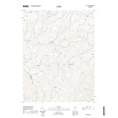
2019 Map of Fellowsville
USGS Topo · Published 2019About this map
Fellowsville sits at the heart of this Preston County landscape, where the headwaters of the Little Sandy Cr carve through the ridges of the Allegheny Plateau. The map reveals a settlement pattern tied closely to the high ground and narrow valley floors, with small communities like Evansville, Sinclair, and Marquess connected by a network of winding roads such as Stevensburg Rd and Caintown Rd. This era of documentation shows a rural economy defined by the terrain, with family legacy preserved in numerous burial grounds like Blackwood Cem and Bolyard Cem. To the south, the topographic prominence of Laurel Mtn towers over the drainage of Little Buffalo Cr, while the northern border is defined by the community of Scotch Hill and the Bethel Church.
Find a feature on this map
100 named features on this map. Tap any name to fly to it.
Don’t see what you’re looking for? This feature index may not catch every label — zoom into the map to look around manually.
Map Details
Editions of this 2019 Fellowsville Map
This is the sole edition of this map. No revisions or reprints were ever made.
Other maps of this area

1886 · St. George
USGS Topo · 1:125,000

1891 · St. George
USGS Topo · 1:125,000

1907 · Thornton
USGS Topo · 1:62,500

1907 · Kingwood
USGS Topo · 1:62,500

1907 · Belington
USGS Topo · 1:62,500

1908 · Parsons
USGS Topo · 1:62,500

1925 · Kingwood
USGS Topo · 1:62,500

1926 · Thornton
USGS Topo · 1:62,500

1926 · Parsons
USGS Topo · 1:62,500

1927 · Belington
USGS Topo · 1:62,500