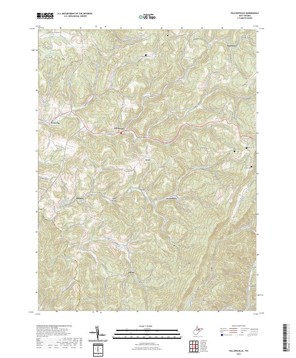
2023 Map of Fellowsville
USGS Topo · Published 2023About this map
Fellowsville sits at the junction of several rural routes in a landscape defined by the intricate drainages of Little Sandy Creek and Sandy Creek. This area of Preston County reveals a network of small, scattered settlements such as Israel, Marquess, and Sinclair, often organized around water gaps or hilltop road intersections. Notable genealogical markers include the Blackwood Cem and Nazareth Cem, which alongside the Number 16 School, suggest a community structure rooted in local family holdings and small-scale school districts.
Find a feature on this map
98 named features on this map. Tap any name to fly to it.
Don’t see what you’re looking for? This feature index may not catch every label — zoom into the map to look around manually.
Map Details
Editions of this 2023 Fellowsville Map
This is the sole edition of this map. No revisions or reprints were ever made.
Other maps of this area

1886 · St. George
USGS Topo · 1:125,000

1891 · St. George
USGS Topo · 1:125,000

1907 · Thornton
USGS Topo · 1:62,500

1907 · Kingwood
USGS Topo · 1:62,500

1907 · Belington
USGS Topo · 1:62,500

1908 · Parsons
USGS Topo · 1:62,500

1925 · Kingwood
USGS Topo · 1:62,500

1926 · Thornton
USGS Topo · 1:62,500

1926 · Parsons
USGS Topo · 1:62,500

1927 · Belington
USGS Topo · 1:62,500