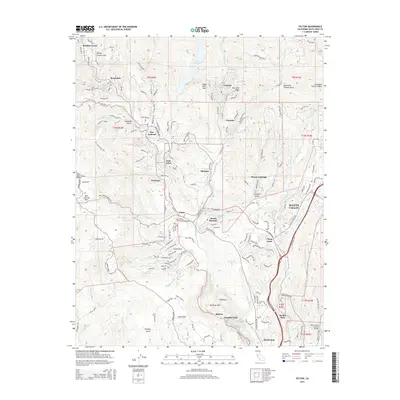
2015 Map of Felton
USGS Topo · Published 2015About this map
Felton and the surrounding San Lorenzo Valley communities define this landscape along the San Lorenzo River. The area is characterized by a dense network of mountain settlements and recreational sites, including the historic Felton Covered Bridge and the sprawling waters of Loch Lomond. To the east, the rapid development of Scotts Valley stands in contrast to the heavily wooded terrain surrounding Mount Hermon and Ben Lomond.
Find a feature on this map
86 named features on this map. Tap any name to fly to it.
Don’t see what you’re looking for? This feature index may not catch every label — zoom into the map to look around manually.
Map Details
Editions of this 2015 Felton Map
This is the sole edition of this map. No revisions or reprints were ever made.
Other maps of this area

1902 · Santa Cruz
USGS Topo · 1:125,000

1912 · Capitola
USGS Topo · 1:62,500

1914 · Capitola
USGS Topo · 1:62,500

1916 · New Almaden
USGS Topo · 1:48,000

1919 · New Almaden
USGS Topo · 1:62,500

1940 · Capitola
USGS Topo · 1:62,500

1940 · Los Gatos
USGS Topo · 1:62,500

1943 · Los Gatos
USGS Topo · 1:62,500

1947 · San Francisco
USGS Topo · 1:250,000

1947 · San Jose
USGS Topo · 1:250,000