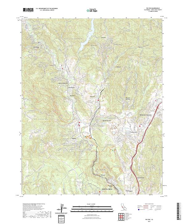
2021 Map of Felton
USGS Topo · Published 2021About this map
The San Lorenzo River valley defines this portion of the Santa Cruz Mountains, where a dense network of mountain communities and extensive trail systems emerged by the early 21st century. The map highlights the clustered settlements of Felton, Ben Lomond, and Brookdale along the river corridor, contrasted by the more developed suburban character of Scotts Valley to the east. Topographic details reveal the complex drainage of Zayante Creek and Bean Creek, as well as the prominence of Ben Lomond Mountain to the west. Local history is reflected in names like Mountain Charlie Gulch and Mount Hermon, while the landscape is stitched together by a massive system of fire roads and recreational paths, including the Fall Creek Trail and Powder Mill Trail, serving the many parks and preserves in this redwood-rich environment.
Find a feature on this map
69 named features on this map. Tap any name to fly to it.
Don’t see what you’re looking for? This feature index may not catch every label — zoom into the map to look around manually.
Map Details
Editions of this 2021 Felton Map
This is the sole edition of this map. No revisions or reprints were ever made.
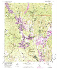
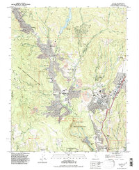
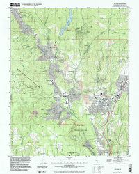
Historical Maps of Paradise Park Through Time
4 maps found