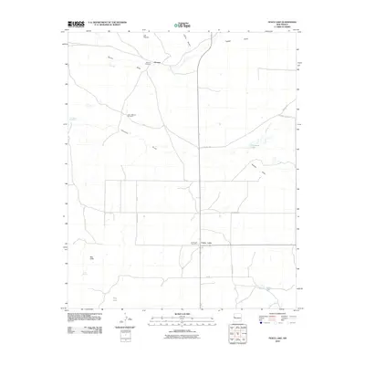
2010 Map of Fence Lake
USGS Topo · Published 2010About this map
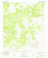
Atarque and its adjacent Atarque Cemetery sit in the northern reaches of this Cibola County landscape, where the drainage of Terrero Draw and Canon Ancho define the local topography. Further south, the community of Fence Lake serves as a central hub, anchored by the Fence Lake Post Office and connected by a network of local routes including County Rd-35.
Find a feature on this map
20 named features on this map. Tap any name to fly to it.
Don’t see what you’re looking for? This feature index may not catch every label — zoom into the map to look around manually.
Map Details
Editions of this 2010 Fence Lake Map
This is the sole edition of this map. No revisions or reprints were ever made.
Other maps of this area

1954 · Saint Johns
USGS Topo · 1:250,000

1957 · Saint Johns
USGS Topo · 1:250,000

1958 · Saint Johns
USGS Topo · 1:250,000

1962 · Saint Johns
USGS Topo · 1:250,000

1972 · Fence Lake
USGS Topo · 1:24,000
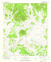
1972 · Cerro Prieto
USGS Topo · 1:24,000

1972 · Fence Lake SW
USGS Topo · 1:24,000
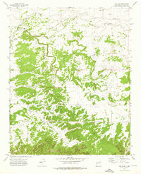
1972 · The Dyke
USGS Topo · 1:24,000
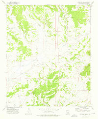
1972 · Mesita De Yeso
USGS Topo · 1:24,000
1972 · Atarque Lake
USGS Topo · 1:24,000