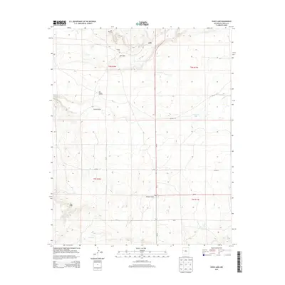
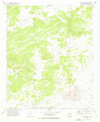
2013 Map of Fence Lake
USGS Topo · Published 2013About this map
Atarque and the small hub of Fence Lake anchor this 2013 survey of the western New Mexico landscape. The map details a high-altitude terrain defined by ephemeral water and ranching infrastructure, evidenced by features like the East Malpais Windmill and various seasonal bodies of water such as Chaparral Lake and Dog Lake. Genealogists and local historians will find the Atarque Cemetery located just north of its namesake settlement, near the dramatic rise of Los Pilares.
Find a feature on this map
23 named features on this map. Tap any name to fly to it.
Don’t see what you’re looking for? This feature index may not catch every label — zoom into the map to look around manually.
Map Details
Editions of this 2013 Fence Lake Map
This is the sole edition of this map. No revisions or reprints were ever made.
Other maps of this area

1954 · Saint Johns
USGS Topo · 1:250,000

1957 · Saint Johns
USGS Topo · 1:250,000

1958 · Saint Johns
USGS Topo · 1:250,000

1962 · Saint Johns
USGS Topo · 1:250,000

1972 · Fence Lake
USGS Topo · 1:24,000
1972 · Cerro Prieto
USGS Topo · 1:24,000

1972 · Fence Lake SW
USGS Topo · 1:24,000
1972 · The Dyke
USGS Topo · 1:24,000
1972 · Mesita De Yeso
USGS Topo · 1:24,000
1972 · Atarque Lake
USGS Topo · 1:24,000