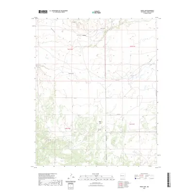
2023 Map of Fence Lake
USGS Topo · Published 2023About this map
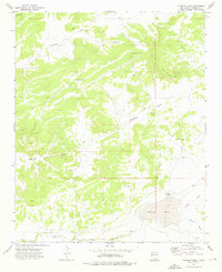
Fence Lake and the high desert of western Cibola County are defined by a sparse network of roads and critical water sources. The small settlement of Fence Lake serves as a central point, supported by the Fence Lake Community Cem, while the northern portion of the quadrangle shows the settlement of Atarque and its associated Atarque Cem. The landscape is etched by drainage patterns including Terrero Draw, Cañon Ancho, and Lorenzo Arroyo, which direct the flow of seasonal runoff through the arid terrain.
Find a feature on this map
29 named features on this map. Tap any name to fly to it.
Don’t see what you’re looking for? This feature index may not catch every label — zoom into the map to look around manually.
Map Details
Editions of this 2023 Fence Lake Map
This is the sole edition of this map. No revisions or reprints were ever made.
Other maps of this area

1954 · Saint Johns
USGS Topo · 1:250,000

1957 · Saint Johns
USGS Topo · 1:250,000

1958 · Saint Johns
USGS Topo · 1:250,000

1962 · Saint Johns
USGS Topo · 1:250,000

1972 · Fence Lake
USGS Topo · 1:24,000
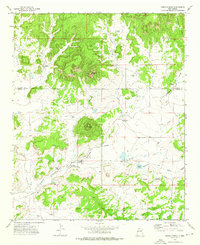
1972 · Cerro Prieto
USGS Topo · 1:24,000

1972 · Fence Lake SW
USGS Topo · 1:24,000
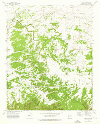
1972 · The Dyke
USGS Topo · 1:24,000
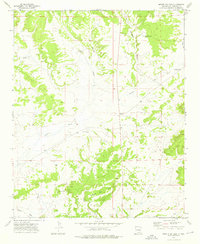
1972 · Mesita De Yeso
USGS Topo · 1:24,000
1972 · Atarque Lake
USGS Topo · 1:24,000