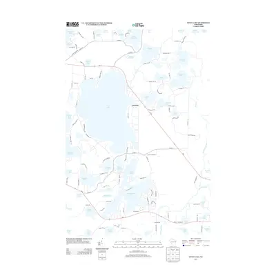
2013 Map of Fence Lake
USGS Topo · Published 2013About this map
Fence Lake and the surrounding glacial waters dominate this landscape on the Indian Reservation in northern Wisconsin. The small settlement of Marlands sits at the junction of Wi-47 and Fence Lake, serving as a central point in a dense network of lakes and wooded terrain. The map details an intricate hydrographic system including Shishebogama Lake, White Sand Lake, and the winding course of the Tomahawk River in the southeast.
Find a feature on this map
108 named features on this map. Tap any name to fly to it.
Don’t see what you’re looking for? This feature index may not catch every label — zoom into the map to look around manually.
Map Details
Editions of this 2013 Fence Lake Map
This is the sole edition of this map. No revisions or reprints were ever made.
Other maps of this area

1938 · Minocqua
USGS Topo · 1:48,000

1938 · Lac Du Flambeau
USGS Topo · 1:48,000

1939 · Trout Lake
USGS Topo · 1:48,000

1939 · Lac Du Flambeau
USGS Topo · 1:48,000

1939 · Winchester
USGS Topo · 1:48,000

1946 · Winchester
USGS Topo · 1:48,000

1946 · Minocqua
USGS Topo · 1:48,000

1946 · Lac Du Flambeau
USGS Topo · 1:48,000

1946 · Trout Lake
USGS Topo · 1:48,000

1949 · Trout Lake
USGS Topo · 1:48,000