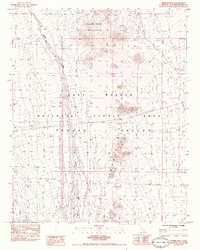
1984 Map of Fenner Hills
USGS Topo · Published 1984About this map
Fenner Hills and the surrounding high desert terrain dominate this mid-1980s topographic survey of eastern San Bernardino County. Part of the broader East Mojave National Scenic Area, the landscape is defined by massive drainage systems like Watson Wash and Woods Wash which cut through the Fenner Valley. To the north, the elevation rises sharply toward the slopes of Hackberry Mountain.
Find a feature on this map
17 named features on this map. Tap any name to fly to it.
Don’t see what you’re looking for? This feature index may not catch every label — zoom into the map to look around manually.
Map Details
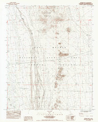
Editions of this 1984 Fenner Hills Map
2 editions found
Other maps of this area

1910 · Ivanpah
USGS Topo · 1:250,000

1912 · Ivanpah
USGS Topo · 1:250,000

1942 · Ivanpah
USGS Topo · 1:250,000

1942 · Amboy
USGS Topo · 1:250,000

1943 · Amboy
USGS Topo · 1:250,000

1943 · Fenner
USGS Topo · 1:62,500

1947 · Kingman
USGS Topo · 1:250,000

1948 · Kingman
USGS Topo · 1:250,000

1954 · Needles
USGS Topo · 1:250,000

1954 · Kingman
USGS Topo · 1:250,000