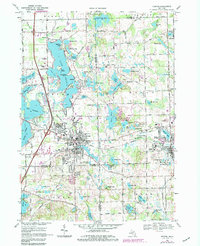
1969 Map of Fenton
USGS Topo · Published 1984About this map
Fenton and Holly stand as the primary hubs in this late-1960s landscape, positioned at the convergence of several county lines where the Shiawassee River winds through a dense network of glacial lakes. The area is characterized by a mix of established residential growth and institutional landmarks, including the Adelphian Academy and Lake Fenton Sch. The rail infrastructure is well-defined by the Grand Trunk Western and Chesapeake and Ohio lines, which historically drove the development of these communities and their local industries.
Find a feature on this map
82 named features on this map. Tap any name to fly to it.
Don’t see what you’re looking for? This feature index may not catch every label — zoom into the map to look around manually.
Map Details
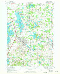
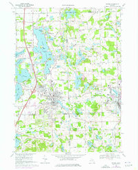
Editions of this 1969 Fenton Map
Other maps of this area

1907 · Howell
USGS Topo · 1:62,500

1909 · Howell
USGS Topo · 1:62,500

1909 · Milford
USGS Topo · 1:62,500

1920 · Holly
USGS Topo · 1:62,500

1922 · Holly
USGS Topo · 1:62,500

1922 · Durand
USGS Topo · 1:62,500

1936 · Highland
USGS Topo · 1:31,680

1942 · Highland
USGS Topo · 1:24,000

1943 · Holly
USGS Topo · 1:62,500

1943 · Durand
USGS Topo · 1:62,500