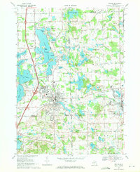
1969 Map of Fenton
USGS Topo · Published 1971About this map
The city of Fenton serves as the focal point of this late 1960s survey, straddling the tri-county corner where Genesee, Livingston, and Oakland Counties meet. The industrial and transit character of the era is defined by the Grand Trunk Western railroad corridor and a growing network of modern roadways. Local recreation and geography are heavily centered on the expansive Lake Fenton, featuring populated points like Lakeside and landmarks such as Case Island and Log Cabin Point.
Find a feature on this map
101 named features on this map. Tap any name to fly to it.
Don’t see what you’re looking for? This feature index may not catch every label — zoom into the map to look around manually.
Map Details
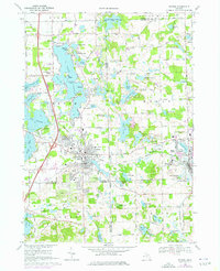
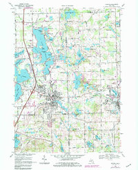
Editions of this 1969 Fenton Map
Other maps of this area

1907 · Howell
USGS Topo · 1:62,500

1909 · Howell
USGS Topo · 1:62,500

1909 · Milford
USGS Topo · 1:62,500

1920 · Holly
USGS Topo · 1:62,500

1922 · Holly
USGS Topo · 1:62,500

1922 · Durand
USGS Topo · 1:62,500

1936 · Highland
USGS Topo · 1:31,680

1942 · Highland
USGS Topo · 1:24,000

1943 · Holly
USGS Topo · 1:62,500

1943 · Durand
USGS Topo · 1:62,500