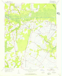
1954 Map of Fentress
USGS Topo · Published 1956About this map
The Albemarle and Chesapeake Canal Waterway bisects this Tidewater landscape, serving as a critical link in the coastal transportation network of the mid-1950s. Near the Great Bridge Lock, the community of Great Bridge functions as a hub for both water and road traffic. To the east, the sprawling U S Naval Reservation (Fentress Landing Field) marks the military's significant footprint in the region.
Find a feature on this map
25 named features on this map. Tap any name to fly to it.
Don’t see what you’re looking for? This feature index may not catch every label — zoom into the map to look around manually.
Map Details
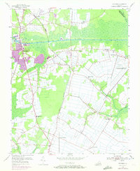
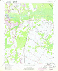
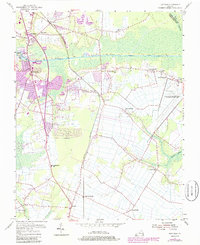
Editions of this 1954 Fentress Map
4 editions found
Other maps of this area

1907 · Norfolk
USGS Topo · 1:125,000

1918 · Cape Henry
USGS Topo · 1:62,500

1919 · Cape Henry
USGS Topo · 1:62,500

1921 · Newport News
USGS Topo · 1:62,500

1939 · Moyock
USGS Topo · 1:62,500

1940 · Lake Drummond
USGS Topo · 1:62,500

1944 · Norfolk South
USGS Topo · 1:25,000

1945 · Lake Drummond
USGS Topo · 1:62,500

1946 · Moyock
USGS Topo · 1:62,500

1948 · Norfolk South
USGS Topo · 1:24,000