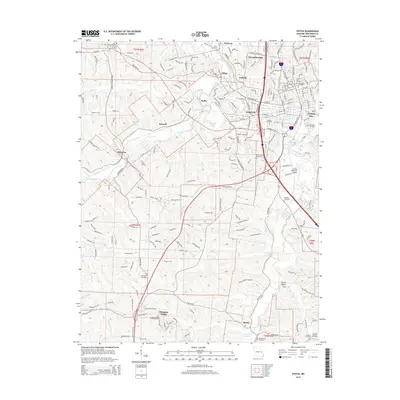
2015 Map of Festus
USGS Topo · Published 2015About this map
Festus and Crystal City serve as the primary hubs for this Jefferson County corridor, where the confluence of several creek systems dictated early settlement patterns. This 2015 data illustrates the developed landscape along the winding course of Joachim Creek and Plattin Creek, showcasing the density of local heritage sites. Genealogists will find a high concentration of burial grounds, including the Roselawn Cemetery, Mount Zion Cemetery, and the Old Town Cemetery near the heart of the city. To the west, the topography transitions toward smaller communities like Hematite and Olympian Village, while the northeast reflects the industrial and residential growth of Herculaneum. The presence of the Festus Memorial Airport and numerous rural cemeteries like Sunnyside Cemetery and McCormack Cemetery provides a clear view of how modern transportation and historic family plots coexist in this part of Missouri.
Find a feature on this map
236 named features on this map. Tap any name to fly to it.
Don’t see what you’re looking for? This feature index may not catch every label — zoom into the map to look around manually.
Map Details
Editions of this 2015 Festus Map
This is the sole edition of this map. No revisions or reprints were ever made.
Other maps of this area

1901 · De Soto
USGS Topo · 1:125,000

1912 · Kimmswick
USGS Topo · 1:62,500

1915 · Crystal City
USGS Topo · 1:62,500

1916 · Kimmswick
USGS Topo · 1:62,500

1930 · De Soto NE
USGS Topo · 1:24,000

1930 · Pacific SE
USGS Topo · 1:24,000

1931 · De Soto SE
USGS Topo · 1:24,000

1948 · Kimmswick
USGS Topo · 1:62,500

1949 · Saint Louis
USGS Topo · 1:250,000

1949 · Crystal City
USGS Topo · 1:62,500