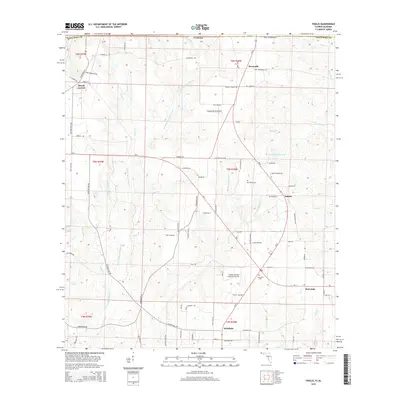
2015 Map of Fidelis
USGS Topo · Published 2015About this map
Fidelis and Dixonville anchor this 2015 study of northern Santa Rosa County, where the landscape is defined by the winding tributaries of the W Fork Big Coldwater Cr and Juniper Cr. The area reflects a rural economy shaped by agricultural aviation, evidenced by the Thomas Farms Airport and Golden Harvest Flying Service Inc. Local history is preserved at the Old Fidelis Cem and Crossroads Cem, while smaller settlements like Mount Carmel, Whitfield, and Berrydale are connected by a network of local roads including SR-4 and SR-87.
Find a feature on this map
97 named features on this map. Tap any name to fly to it.
Don’t see what you’re looking for? This feature index may not catch every label — zoom into the map to look around manually.
Map Details
Editions of this 2015 Fidelis Map
This is the sole edition of this map. No revisions or reprints were ever made.
Other maps of this area

1943 · Jay
USGS Topo · 1:62,500

1948 · Munson
USGS Topo · 1:62,500

1950 · Munson
USGS Topo · 1:62,500

1953 · Andalusia
USGS Topo · 1:250,000

1957 · Andalusia
USGS Topo · 1:250,000

1957 · Pensacola
USGS Topo · 1:250,000

1959 · Pensacola
USGS Topo · 1:250,000

1959 · Brewton South
USGS Topo · 1:24,000

1960 · Pensacola
USGS Topo · 1:250,000

1960 · Brewton South
USGS Topo · 1:24,000