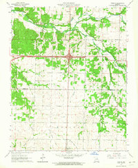
1963 Map of Fidelity
USGS Topo · Published 1964About this map
Fidelity serves as the focal point of this southwestern Missouri landscape, where the intersection of major thoroughfares meets the rolling country of the Diamond Grove Prairie. The area is characterized by a high density of rural institutions, particularly along the winding courses of Center Creek and Jones Branch. This 1963 survey documents a community rich in local genealogy, featuring numerous family-named landmarks and historical sites such as Moss Springs Cem and the Liberty Community Hall. The transition from the rugged drainage of Grove Creek to the open expanses in the south reflects the varied terrain of the Jasper and Newton county border. Educational and religious history is well-preserved through labels for the Victory Sch, Pearl Hill Sch, and Emanuel Ch. A notable historical detail is the Railroad Grade running toward Diamond, marking the footprint of former transportation infrastructure through the prairie.
Find a feature on this map
31 named features on this map. Tap any name to fly to it.
Don’t see what you’re looking for? This feature index may not catch every label — zoom into the map to look around manually.
Map Details
Editions of this 1963 Fidelity Map
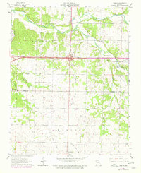
2 editions found
Other maps of this area

1886 · Carthage
USGS Topo · 1:125,000

1894 · Carthage
USGS Topo · 1:125,000

1916 · Neosho
USGS Topo · 1:62,500

1921 · Sarcoxie
USGS Topo · 1:62,500

1943 · Ritchey
USGS Topo · 1:62,500

1947 · Joplin
USGS Topo · 1:250,000

1949 · Joplin
USGS Topo · 1:250,000

1954 · Tulsa
USGS Topo · 1:250,000

1954 · Joplin
USGS Topo · 1:250,000

1958 · Joplin
USGS Topo · 1:250,000