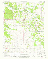
1963 Map of Fidelity
USGS Topo · Published 1979About this map
Center Creek and its southern tributaries define the landscape of this region on the border of Jasper and Newton counties. Settlement is concentrated around the crossroads of Fidelity and the northern edge of Diamond, where a mix of agricultural fields and wooded draws follow watercourses like Grove Creek and Fidelity Branch. The land use reflects a transition from traditional farming to modern infrastructure, evidenced by the intersection of major highways and an Old Railroad Grade that cuts through the southern sections near Diamond Grove Prairie.
Find a feature on this map
30 named features on this map. Tap any name to fly to it.
Don’t see what you’re looking for? This feature index may not catch every label — zoom into the map to look around manually.
Map Details
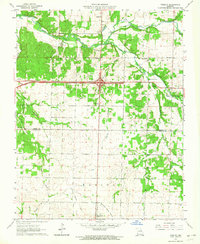
Editions of this 1963 Fidelity Map
2 editions found
Other maps of this area

1886 · Carthage
USGS Topo · 1:125,000

1894 · Carthage
USGS Topo · 1:125,000

1916 · Neosho
USGS Topo · 1:62,500

1921 · Sarcoxie
USGS Topo · 1:62,500

1943 · Ritchey
USGS Topo · 1:62,500

1947 · Joplin
USGS Topo · 1:250,000

1949 · Joplin
USGS Topo · 1:250,000

1954 · Tulsa
USGS Topo · 1:250,000

1954 · Joplin
USGS Topo · 1:250,000

1958 · Joplin
USGS Topo · 1:250,000