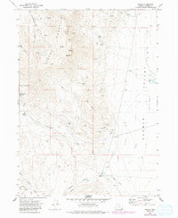
1971 Map of Fields
USGS Topo · Published 1991About this map
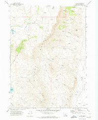
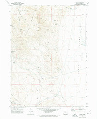
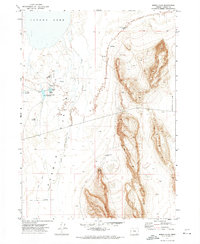
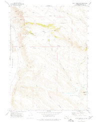
Fields serves as the focal point for this high-desert landscape in southeastern Oregon, situated where the southern end of the Steens Mountain Peaks meets the northern reaches of the Pueblo Valley. The map illustrates a region defined by sharp elevation changes, from the heights of Alvord Peak and Buckwilder Pass down to the drainage of Canyon Creek. Resource extraction is evident through several sites including the Mogul Mine, the Lucky Star Mine, and various unnamed Prospects. The importance of water in this arid environment is highlighted by numerous remote water sources such as O'Keefe Spring, Pedro Spring, and Burks Spring. The infrastructure reflects the isolation of the area, featuring a Landing Strip and a network of 4WD tracks that navigate through complex terrain like Babes Canyon and Long Hollow.
Find a feature on this map
43 named features on this map. Tap any name to fly to it.
Don’t see what you’re looking for? This feature index may not catch every label — zoom into the map to look around manually.
Map Details
Editions of this 1971 Fields Map
3 editions found
Other maps of this area

1955 · Adel
USGS Topo · 1:250,000

1957 · Adel
USGS Topo · 1:250,000

1958 · Adel
USGS Topo · 1:250,000

1962 · Adel
USGS Topo · 1:250,000
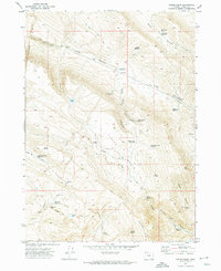
1971 · Fields Basin
USGS Topo · 1:24,000
1971 · Andrews
USGS Topo · 1:24,000
1971 · V Lake
USGS Topo · 1:24,000
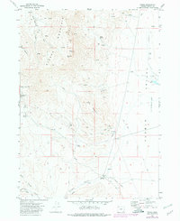
1971 · Fields
USGS Topo · 1:24,000
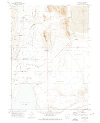
1971 · Borax Lake
USGS Topo · 1:24,000
1971 · Skull Creek Butte
USGS Topo · 1:24,000