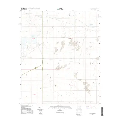
2013 Map of Fifteenmile Lake
USGS Topo · Published 2013About this map
White Sands and the broader Tularosa Valley define this landscape within the high desert of south-central New Mexico. This 2013 survey illustrates a region where water is a scarce and transient presence, marked by ephemeral features like Big Salt Lake and the namesake Fifteenmile Lake. The terrain is characterized by the distinct dunefields of The Sands, showing the complex geological formations that have shaped this arid environment.
Find a feature on this map
14 named features on this map. Tap any name to fly to it.
Don’t see what you’re looking for? This feature index may not catch every label — zoom into the map to look around manually.
Map Details
Editions of this 2013 Fifteenmile Lake Map
This is the sole edition of this map. No revisions or reprints were ever made.
Other maps of this area

1916 · Tularosa
USGS Topo · 1:125,000

1916 · Point Of Sands
USGS Topo · 1:125,000

1947 · Point Of Sands 2
USGS Topo · 1:62,500

1948 · Lumley Lake
USGS Topo · 1:62,500

1948 · Tularosa
USGS Topo · 1:62,500

1948 · Holloman
USGS Topo · 1:62,500

1954 · Tularosa
USGS Topo · 1:250,000

1955 · Las Cruces
USGS Topo · 1:250,000

1958 · Las Cruces
USGS Topo · 1:250,000

1958 · Tularosa
USGS Topo · 1:250,000