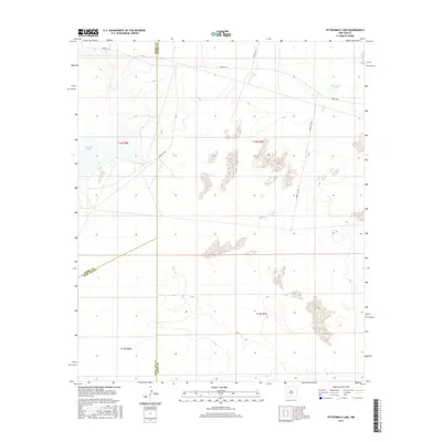
2017 Map of Fifteenmile Lake
USGS Topo · Published 2017About this map
Fifteenmile Lake and the arid expanse of the Tularosa Basin characterize this 2017 survey of southern New Mexico. The landscape is dominated by the complex administrative and geographic intersections of Sierra, Doña Ana, and Otero counties. This area is defined by its restricted access and military history, as evidenced by the network of White Sands Missile Range routes including Wsmr P RT 6 and Wsmr S RT 297 that crisscross the desert floor. Water is a scarce and vital feature here, appearing in the form of ephemeral basins like Big Salt Lake and the intermittent flow of Three Rivers. The presence of these salt lakes and seasonal watercourses indicates a highly specialized ecosystem where geology and geography dictate the patterns of human and natural movement within a secured government reservation.
Find a feature on this map
14 named features on this map. Tap any name to fly to it.
Don’t see what you’re looking for? This feature index may not catch every label — zoom into the map to look around manually.
Map Details
Editions of this 2017 Fifteenmile Lake Map
This is the sole edition of this map. No revisions or reprints were ever made.
Other maps of this area

1916 · Tularosa
USGS Topo · 1:125,000

1916 · Point Of Sands
USGS Topo · 1:125,000

1947 · Point Of Sands 2
USGS Topo · 1:62,500

1948 · Lumley Lake
USGS Topo · 1:62,500

1948 · Tularosa
USGS Topo · 1:62,500

1948 · Holloman
USGS Topo · 1:62,500

1954 · Tularosa
USGS Topo · 1:250,000

1955 · Las Cruces
USGS Topo · 1:250,000

1958 · Las Cruces
USGS Topo · 1:250,000

1958 · Tularosa
USGS Topo · 1:250,000