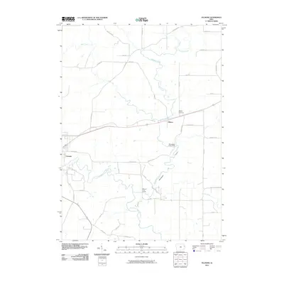
2010 Map of Fillmore
USGS Topo · Published 2010About this map
Cascade stands as the primary settlement on this landscape, positioned along the meandering North Fork Maquoketa River in western Dubuque County. The terrain is defined by a dense network of waterways including Whitewater Creek, Johns Creek, and Lost Creek, which carve through the rural countryside. A notable geological feature, simply labeled Canyon, suggests the more dramatic topography found near the river's path.
Find a feature on this map
43 named features on this map. Tap any name to fly to it.
Don’t see what you’re looking for? This feature index may not catch every label — zoom into the map to look around manually.
Map Details
Editions of this 2010 Fillmore Map
This is the sole edition of this map. No revisions or reprints were ever made.
Other maps of this area

1891 · Monticello
USGS Topo · 1:62,500

1891 · Baldwin
USGS Topo · 1:62,500

1900 · Anamosa
USGS Topo · 1:125,000

1901 · Peosta
USGS Topo · 1:125,000

1959 · Dubuque
USGS Topo · 1:250,000

1961 · Dubuque
USGS Topo · 1:250,000

1962 · Dubuque
USGS Topo · 1:250,000
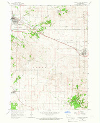
1965 · Dyersville East
USGS Topo · 1:24,000
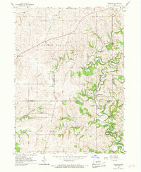
1966 · Bernard
USGS Topo · 1:24,000
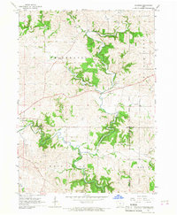
1966 · Fillmore
USGS Topo · 1:24,000