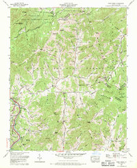
1967 Map of Fines Creek
USGS Topo · Published 1970About this map
Pisgah National Forest and the Harmon Den Wildlife Management Area dominate this section of the Blue Ridge, where the boundaries of Madison, Haywood, and Buncombe counties converge. The topography is defined by the Newfound Mountains and Sandy Mush Mountains, creating a landscape of isolated coves and steep ridges. The settlement of Fines Creek serves as a central point for the surrounding hollows, connected by a network of creeks like Hurricane Creek and the White Oak River.
Find a feature on this map
116 named features on this map. Tap any name to fly to it.
Don’t see what you’re looking for? This feature index may not catch every label — zoom into the map to look around manually.
Map Details
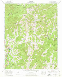
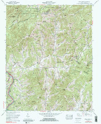
Editions of this 1967 Fines Creek Map
3 editions found
Other maps of this area

1893 · Mt Guyot
USGS Topo · 1:125,000

1894 · Asheville
USGS Topo · 1:125,000

1901 · Asheville
USGS Topo · 1:125,000

1912 · Mt Guyot
USGS Topo · 1:125,000

1935 · Newport
USGS Topo · 1:48,000

1935 · Canton
USGS Topo · 1:24,000

1935 · Dellwood
USGS Topo · 1:24,000

1935 · Clyde
USGS Topo · 1:24,000

1935 · Spring Creek
USGS Topo · 1:24,000

1935 · Lemon Gap
USGS Topo · 1:24,000