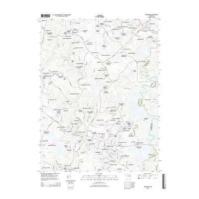
2014 Map of Finksburg
USGS Topo · Published 2014About this map
Liberty Lake serves as a dominant geographical feature in this portion of Carroll County, where the reservoir shoreline meets the developed outskirts of Eldersburg and Finksburg. The landscape reflects a dense pattern of mid-to-late 20th-century residential expansion, with dozens of named subdivisions such as Peach Mill Estates, Linton Springs, and Parkfield carved into the rolling terrain. This residential growth is interspersed with several established religious and institutional sites, including Springfield State Hospital Cem and Wesley Chapel Cem, which offer significant data points for genealogical research in the area.
Find a feature on this map
298 named features on this map. Tap any name to fly to it.
Don’t see what you’re looking for? This feature index may not catch every label — zoom into the map to look around manually.
Map Details
Editions of this 2014 Finksburg Map
This is the sole edition of this map. No revisions or reprints were ever made.
Other maps of this area

1892 · Ellicott
USGS Topo · 1:62,500

1893 · Frederick
USGS Topo · 1:125,000

1894 · Ellicott
USGS Topo · 1:62,500

1894 · Frederick
USGS Topo · 1:125,000

1905 · Westminster
USGS Topo · 1:62,500

1906 · Ellicott
USGS Topo · 1:62,500

1908 · Patapsco
USGS Topo · 1:125,000

1909 · Mount Airy
USGS Topo · 1:62,500

1911 · Taneytown
USGS Topo · 1:62,500

1942 · Gettysburg
USGS Topo · 1:125,000