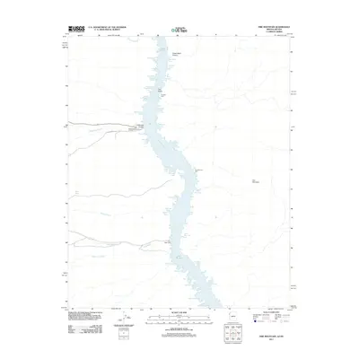
2011 Map of Fire Mountain
USGS Topo · Published 2011About this map
Nelsons Landing serves as the primary access point to the waters of Lake Mohave where the Colorado River fills the deep reaches of Lower Black Canyon. This rugged desert landscape is defined by its mining and maritime history, where numerous inlets such as Pope Mine Cove, Porter Mine Cove, and Gold Bug Cove hint at the mineral-rich canyon walls surrounding the reservoir. Navigation aids including One Mile Light and Aztec Wash Light mark the waterway for travelers passing through the narrow corridor between the Nevada and Arizona borders.
Find a feature on this map
49 named features on this map. Tap any name to fly to it.
Don’t see what you’re looking for? This feature index may not catch every label — zoom into the map to look around manually.
Map Details
Editions of this 2011 Fire Mountain Map
This is the sole edition of this map. No revisions or reprints were ever made.
Other maps of this area

1886 · Camp Mohave
USGS Topo · 1:250,000

1892 · Camp Mohave
USGS Topo · 1:250,000

1926 · Nelson
USGS Topo · 1:96,000

1942 · Camp Mohave
USGS Topo · 1:250,000

1947 · Kingman
USGS Topo · 1:250,000

1948 · Kingman
USGS Topo · 1:250,000

1954 · Kingman
USGS Topo · 1:250,000

1955 · Kingman
USGS Topo · 1:250,000

1958 · Kingman
USGS Topo · 1:250,000
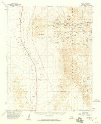
1958 · Nelson
USGS Topo · 1:62,500