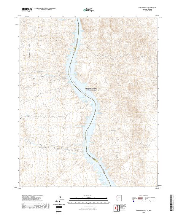
2021 Map of Fire Mountain
USGS Topo · Published 2021About this map
The Eldorado Mountains and the arid expanse of the Mojave Desert define the eastern bank of the Colorado River valley, where the state lines of Nevada and Arizona meet. This portion of the Lake Mead National Recreation Area is marked by a rugged sequence of inlets and canyons, including Eldorado Canyon and Techatticup Wash. The naming of features like Millsite Cove, Morning Star Cove, and Gold Bug Cove hints at the region’s long-standing mining and prospecting history along the river's edge.
Find a feature on this map
58 named features on this map. Tap any name to fly to it.
Don’t see what you’re looking for? This feature index may not catch every label — zoom into the map to look around manually.
Map Details
Editions of this 2021 Fire Mountain Map
This is the sole edition of this map. No revisions or reprints were ever made.
Other maps of this area

1886 · Camp Mohave
USGS Topo · 1:250,000

1892 · Camp Mohave
USGS Topo · 1:250,000

1926 · Nelson
USGS Topo · 1:96,000

1942 · Camp Mohave
USGS Topo · 1:250,000

1947 · Kingman
USGS Topo · 1:250,000

1948 · Kingman
USGS Topo · 1:250,000

1954 · Kingman
USGS Topo · 1:250,000

1955 · Kingman
USGS Topo · 1:250,000

1958 · Kingman
USGS Topo · 1:250,000
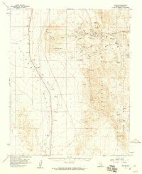
1958 · Nelson
USGS Topo · 1:62,500