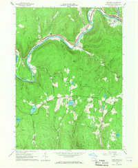
1965 Map of Fishs Eddy
USGS Topo · Published 1968About this map
The East Branch Delaware River carves a deep valley through the heart of Hancock, meeting the Beaver Kill at the settlement of East Branch. This 1960s landscape is defined by the narrow ribbon of industry and transport following the water, where the Erie Lackawanna RR serves riverfront hamlets like Fishs Eddy and Tylers Switch. Beyond the riverbanks, the terrain rises sharply into named ridges like Elm Tree Ridge and Johnny Ridge, where land use shifts toward preservation and recreation. The State Forest Preserve occupies significant acreage, while camps such as Camp Pine Cone and Camp Deerhead are situated near Sand Pond. Numerous quarries and gravel pits are scattered across the hollows, indicating the local extraction economy that operated alongside the timber and water resources of the Catskills.
Find a feature on this map
61 named features on this map. Tap any name to fly to it.
Don’t see what you’re looking for? This feature index may not catch every label — zoom into the map to look around manually.
Map Details
Editions of this 1965 Fishs Eddy Map
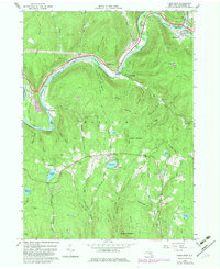
2 editions found
Other maps of this area

1920 · Long Eddy
USGS Topo · 1:62,500

1921 · Long Eddy
USGS Topo · 1:48,000

1923 · Long Eddy
USGS Topo · 1:62,500

1923 · Walton
USGS Topo · 1:48,000

1924 · Starrucca
USGS Topo · 1:48,000

1924 · Deposit
USGS Topo · 1:62,500

1925 · Walton
USGS Topo · 1:62,500

1926 · Deposit
USGS Topo · 1:62,500

1926 · Starrucca
USGS Topo · 1:62,500

1930 · Starrucca
USGS Topo · 1:48,000