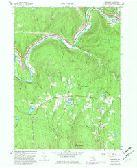
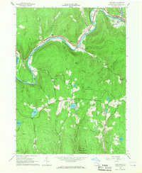
1965 Map of Fishs Eddy
USGS Topo · Published 1982About this map
The East Branch Delaware River carves a dramatic path through the town of Hancock, New York, framing a landscape defined by sharp ridges and deep hollows. Settled pockets like Fishs Eddy and East Branch follow the river’s course, where water-level topography supported the development of small hamlets and riverside infrastructure. At the bend near Partridge Island, the river's influence on local industry is evident through numerous quarries and gravel pits that dot the hillsides, such as those near Tylers Switch.
Find a feature on this map
54 named features on this map. Tap any name to fly to it.
Don’t see what you’re looking for? This feature index may not catch every label — zoom into the map to look around manually.
Map Details
Editions of this 1965 Fishs Eddy Map
2 editions found
Other maps of this area

1920 · Long Eddy
USGS Topo · 1:62,500

1921 · Long Eddy
USGS Topo · 1:48,000

1923 · Long Eddy
USGS Topo · 1:62,500

1923 · Walton
USGS Topo · 1:48,000

1924 · Starrucca
USGS Topo · 1:48,000

1924 · Deposit
USGS Topo · 1:62,500

1925 · Walton
USGS Topo · 1:62,500

1926 · Deposit
USGS Topo · 1:62,500

1926 · Starrucca
USGS Topo · 1:62,500

1930 · Starrucca
USGS Topo · 1:48,000