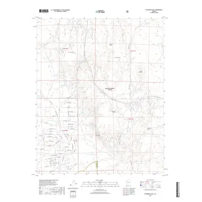
2018 Map of Fitzgerald Hill
USGS Topo · Published 2018About this map
Kaibab National Forest dominates the high-plateau landscape of northern Arizona on this contemporary survey. The area is defined by a series of volcanic and sedimentary formations including Ferno Mesa and Fitzgerald Hill, while the drainage of Ash Fork Draw carves through the central terrain. This region reflects a landscape engineered for cattle ranching, marked by a dense network of catchment basins like Rock House Tank, Yellow Cow Tank, and Steiger Tank that sustain livestock in an arid environment.
Find a feature on this map
68 named features on this map. Tap any name to fly to it.
Don’t see what you’re looking for? This feature index may not catch every label — zoom into the map to look around manually.
Map Details
Editions of this 2018 Fitzgerald Hill Map
This is the sole edition of this map. No revisions or reprints were ever made.
Other maps of this area

1886 · Chino
USGS Topo · 1:250,000

1891 · Chino
USGS Topo · 1:250,000

1922 · Williams
USGS Topo · 1:125,000

1947 · Ash Fork
USGS Topo · 1:62,500

1947 · Picacho Butte
USGS Topo · 1:62,500

1948 · Ash Fork
USGS Topo · 1:63,360

1948 · Williams
USGS Topo · 1:250,000

1948 · Picacho Butte
USGS Topo · 1:63,360

1949 · Ash Fork
USGS Topo · 1:62,500

1950 · Picacho Butte
USGS Topo · 1:62,500