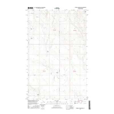
2017 Map of Fivemile Coulee East
USGS Topo · Published 2017About this map
Sweet Grass Hills rise in the northeast corner of this Toole County landscape, where a series of significant drainage basins dictate the character of the terrain. The map records a vast network of coulees that define the local topography, including Fivemile Coulee, Greens Coulee, and Timber Coulee. These features illustrate the natural erosion patterns across the high plains as they gather into watercourses such as Willow Cr and Simmons Cr.
Find a feature on this map
20 named features on this map. Tap any name to fly to it.
Don’t see what you’re looking for? This feature index may not catch every label — zoom into the map to look around manually.
Map Details
Editions of this 2017 Fivemile Coulee East Map
This is the sole edition of this map. No revisions or reprints were ever made.
Other maps of this area

1943 · Antelope Coulee
USGS Topo · 1:62,500

1945 · West Butte
USGS Topo · 1:62,500

1954 · Shelby
USGS Topo · 1:250,000

1958 · Shelby
USGS Topo · 1:250,000

1962 · Cameron Lake
USGS Topo · 1:24,000

1962 · Hawthorne School
USGS Topo · 1:24,000

1962 · Fey Lakes
USGS Topo · 1:24,000

1984 · Sweet Grass Hills
USGS Topo · 1:100,000
1986 · Antelope Coulee NW
USGS Topo · 1:24,000
1986 · Johannson Coulee
USGS Topo · 1:24,000