Loading...
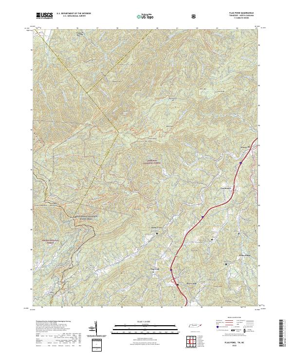
Loading map...2022 Map of Flag Pond
USGS Topo · Published 2022About this map
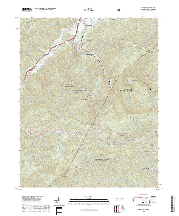
The Cherokee National Forest and Pisgah National Forest converge in this high-altitude section of the Unicoi County mountains. The Appalachian National Scenic Trl traverses the western ridgeline, crossing Flint Gap near Coldspring Mtn and Bald Mountains. The landscape is defined by steep elevation changes, with major peaks like Sampson Mtn and Divide Mtn overlooking deep drainages such as Big Sugar Hollow and Gentry Hollow.
Find a feature on this map
132 named features on this map. Tap any name to fly to it.
Don’t see what you’re looking for? This feature index may not catch every label — zoom into the map to look around manually.
Map Details
Date Portrayed2022
Date Published2022
PublisherU.S. Geological Survey
Map TypeTopographic
Scale1:24000
Physical Dimensions24 x 29 inches
Editions of this 2022 Flag Pond Map
This is the sole edition of this map. No revisions or reprints were ever made.
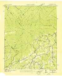
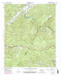
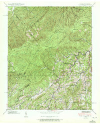
Historical Maps of Flag Pond Through Time
9 maps found

Featured Locations
Source Details
SourceU.S. Geological Survey
CopyrightPublic Domain