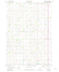
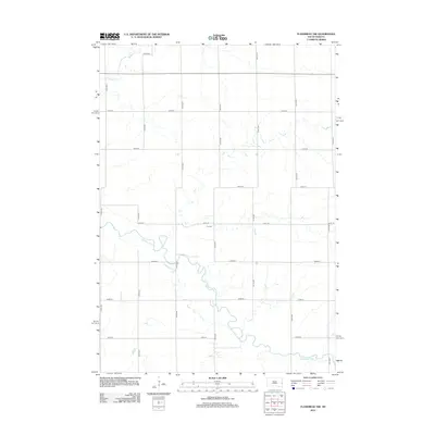
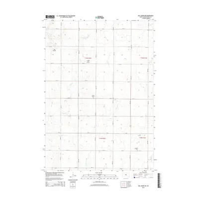
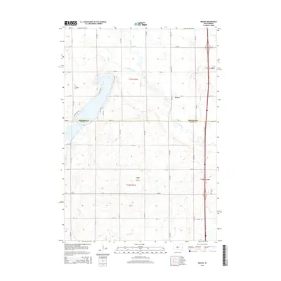
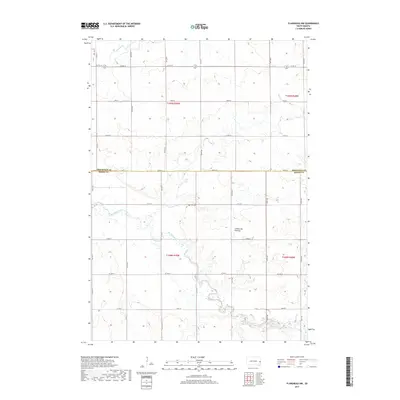
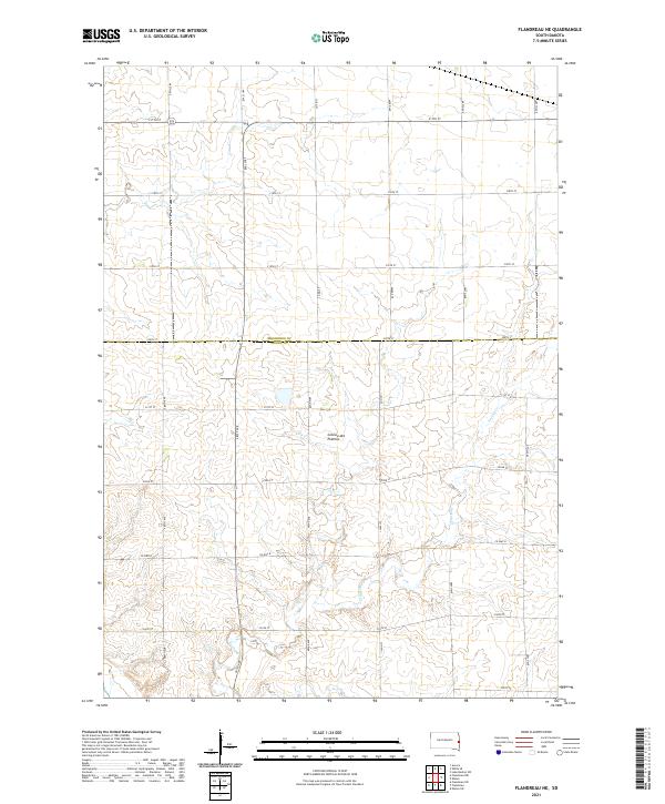
1972 Map of Flandreau NE
USGS Topo · Published 1973About this map
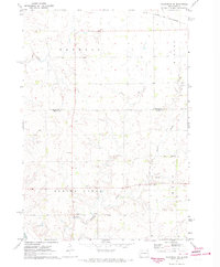
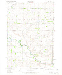
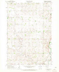
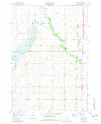
Spring Creek and its unnamed tributaries define the undulating topography of this eastern South Dakota landscape during the early 1970s. The region is largely organized by civil townships, including Parnell, Elkton, and Ward, reflecting a late-century agricultural pattern where land use is dictated by drainage and section lines. A notable structural landmark is the Townhall located near the southern reaches of the township, serving as a center for local administration in this rural area.
Find a feature on this map
11 named features on this map. Tap any name to fly to it.
Don’t see what you’re looking for? This feature index may not catch every label — zoom into the map to look around manually.
Map Details
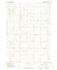
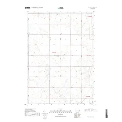
Editions of this 1972 Flandreau NE Map
This is the sole edition of this map. No revisions or reprints were ever made.
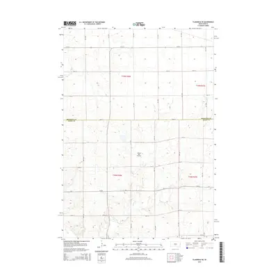
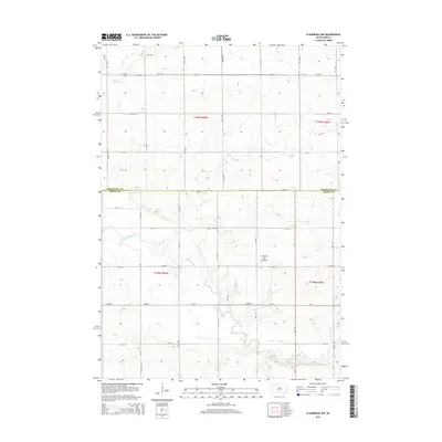
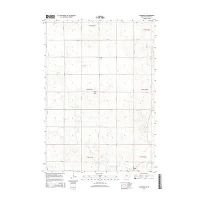
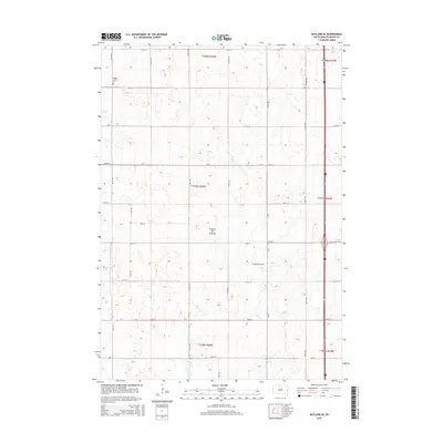
Historical Maps of Elkton Township Through Time
30 maps found
1964 Flandreau NW
Moody County, SD
1964 Flandreau SW
Moody County, SD
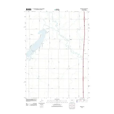
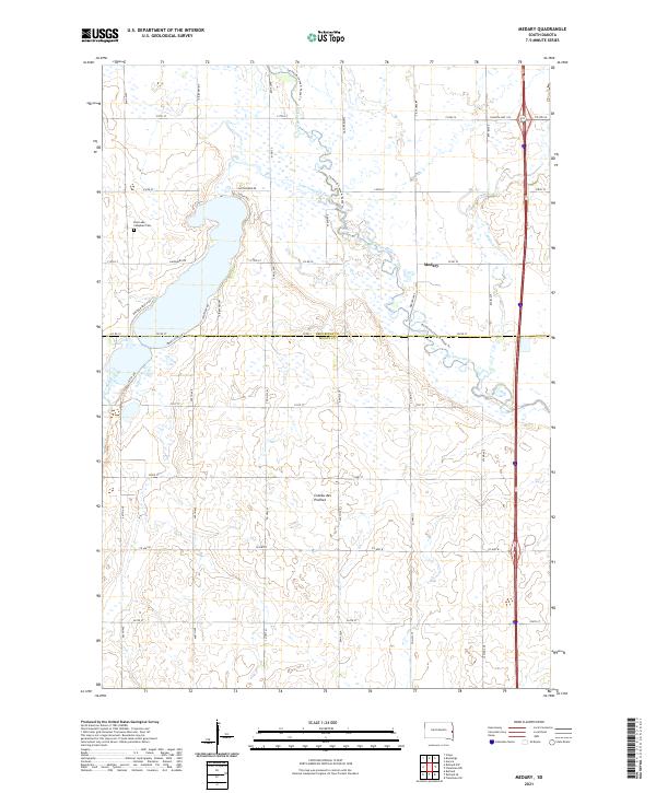
1964 Medary
Moody County, SD
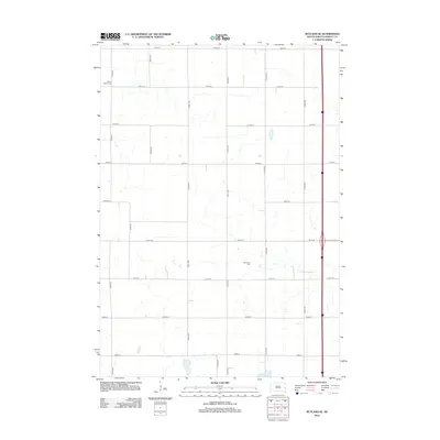
1964 Rutland SE
Moody County, SD
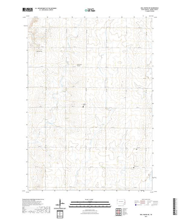
1972 Dell Rapids NE
Moody County, SD
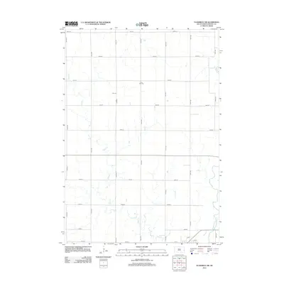
1972 Flandreau NE
Moody County, SD
2012 Dell Rapids NE
Moody County, SD
2012 Flandreau NE
Moody County, SD
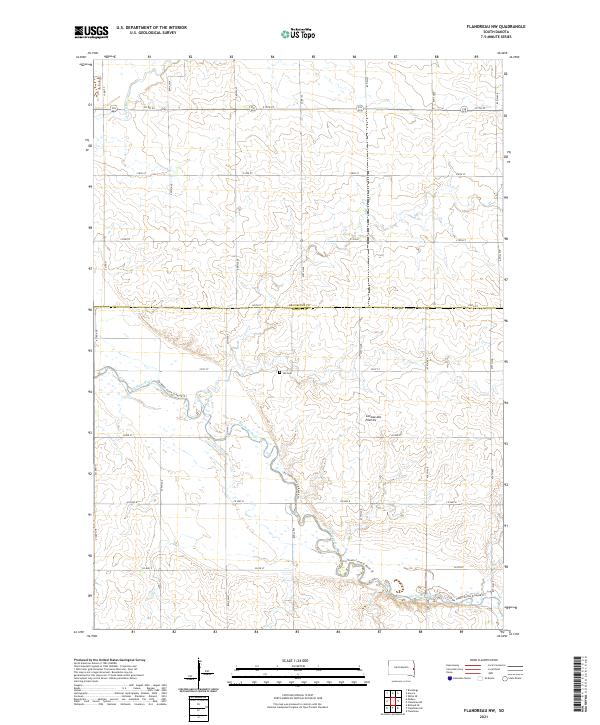
2012 Flandreau NW
Moody County, SD
2012 Flandreau SW
Moody County, SD
2012 Medary
Moody County, SD
2012 Rutland SE
Moody County, SD
2015 Dell Rapids NE
Moody County, SD
2015 Flandreau NE
Moody County, SD
2015 Flandreau NW
Moody County, SD
2015 Flandreau SW
Moody County, SD
2015 Medary
Moody County, SD
2015 Rutland SE
Moody County, SD
2017 Dell Rapids NE
Moody County, SD
2017 Flandreau NE
Moody County, SD
2017 Flandreau NW
Moody County, SD
2017 Flandreau SW
Moody County, SD
2017 Medary
Moody County, SD
2017 Rutland SE
Moody County, SD
2021 Dell Rapids NE
Moody County, SD
2021 Flandreau NE
Moody County, SD
2021 Flandreau NW
Moody County, SD

2021 Flandreau SW
Moody County, SD
2021 Medary
Moody County, SD
2021 Rutland SE
Moody County, SD
Featured Locations
- Brookings County, SD
- Parnell Township, SD
- Elkton Township, SD
- Spring Creek Township, SD
- Ward Township, SD