2021 Map of Flat River
USGS Topo · Published 2021About this map
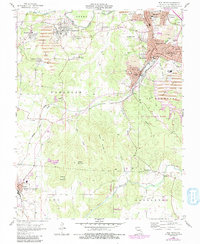
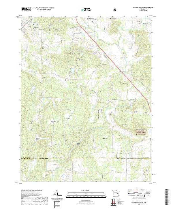
Park Hills and the surrounding mining district of St. Francois County are shown here in a detailed modern view. The northern half of the map is dominated by a dense cluster of historical mining and residential communities, including Leadwood, Desloge, and Flat River, which grew around the region's lead mining industry. These settlements are particularly rich in genealogical data, featuring numerous fraternal and religious burial grounds such as the Odd Fellows Cem, Workmens Cem, and the Knights of Pythias Cem.
Find a feature on this map
57 named features on this map. Tap any name to fly to it.
Don’t see what you’re looking for? This feature index may not catch every label — zoom into the map to look around manually.
Map Details
Editions of this 2021 Flat River Map
This is the sole edition of this map. No revisions or reprints were ever made.
Historical Maps of Fairview Acres Through Time
6 maps found