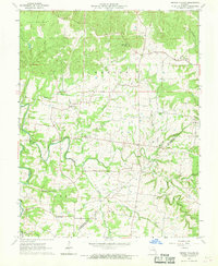
1964 Map of French Village
USGS Topo · Published 1969About this map
French Village sits at the intersection of local history and rugged topography along the St Francois and Ste Genevieve county line. This mid-1960s landscape is characterized by a dense network of family-named cemeteries and rural churches, reflecting generations of settlement in the eastern Ozarks. Small creeks such as Hazel Run and Jacob's Creek carve through the terrain, punctuated by landmarks like the French Village Lookout Tower and the Community Hall.
Find a feature on this map
40 named features on this map. Tap any name to fly to it.
Don’t see what you’re looking for? This feature index may not catch every label — zoom into the map to look around manually.
Map Details
Editions of this 1964 French Village Map
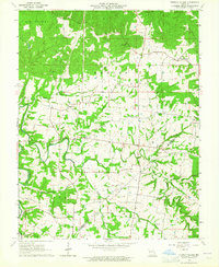
2 editions found
Other maps of this area

1901 · De Soto
USGS Topo · 1:125,000

1904 · Farmington
USGS Topo · 1:62,500

1905 · Bonneterre
USGS Topo · 1:62,500

1906 · Farmington
USGS Topo · 1:62,500

1915 · Crystal City
USGS Topo · 1:62,500

1931 · De Soto SE
USGS Topo · 1:24,000

1949 · Saint Louis
USGS Topo · 1:250,000

1949 · Rolla
USGS Topo · 1:250,000

1949 · Crystal City
USGS Topo · 1:62,500

1953 · Rolla
USGS Topo · 1:250,000