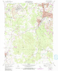
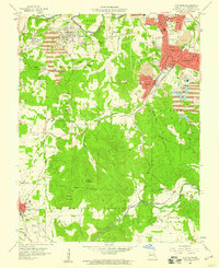
1958 Map of Flat River
USGS Topo · Published 1991About this map
Flat River and its surrounding lead-mining district dominate this mid-century topographic landscape, revealing a dense network of industrial and residential development. The map details the proximity of towns like Desloge, Leadwood, and Rivermines, which grew around the extraction of minerals from the earth. Evidence of this heavy industry is everywhere, from the numerous Mine Dump sites and tailings ponds to specific operations like Baker Mine and Pim Mine. Educational infrastructure is well-represented by a Jr College and Eugene Field Sch, serving the growing population centers in ST Francois County.
Find a feature on this map
56 named features on this map. Tap any name to fly to it.
Don’t see what you’re looking for? This feature index may not catch every label — zoom into the map to look around manually.
Map Details
Editions of this 1958 Flat River Map
4 editions found
Other maps of this area

1904 · Farmington
USGS Topo · 1:62,500

1905 · Bonneterre
USGS Topo · 1:62,500

1906 · Farmington
USGS Topo · 1:62,500

1937 · Ironton
USGS Topo · 1:48,000

1939 · Fredericktown
USGS Topo · 1:48,000

1945 · Ironton
USGS Topo · 1:62,500

1946 · Ironton
USGS Topo · 1:62,500

1947 · Fredericktown
USGS Topo · 1:62,500

1949 · Rolla
USGS Topo · 1:250,000

1950 · Fredericktown
USGS Topo · 1:62,500