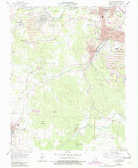
1958 Map of Flat River
USGS Topo · Published 1982About this map
Mining operations and industrial infrastructure define this portion of the Old Lead Belt, where extensive tailings ponds and mine dumps surround the interconnected communities of Flat River, Desloge, and Leadwood. The landscape is a complex network of resource extraction and transit, with the Missouri Pacific railroad and various old RR grades facilitating the movement of ore. Notable local burial grounds such as St Johns Cem, Mitchell Cem, and Adams Cem provide significant points of interest for genealogists tracing families in the St. Francois County area. Beyond the industrial zones, the terrain rises toward Simms Mountain and Sulphur Mountain, while recreation is represented by the expansive St Joe State Park. The map also captures the transition of the northern timberlands within the Mark Twain National Forest and the path of the Big River.
Find a feature on this map
56 named features on this map. Tap any name to fly to it.
Don’t see what you’re looking for? This feature index may not catch every label — zoom into the map to look around manually.
Map Details
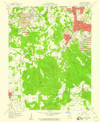
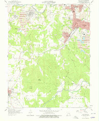
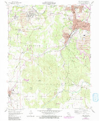
Editions of this 1958 Flat River Map
4 editions found
Other maps of this area

1904 · Farmington
USGS Topo · 1:62,500

1905 · Bonneterre
USGS Topo · 1:62,500

1906 · Farmington
USGS Topo · 1:62,500

1937 · Ironton
USGS Topo · 1:48,000

1939 · Fredericktown
USGS Topo · 1:48,000

1945 · Ironton
USGS Topo · 1:62,500

1946 · Ironton
USGS Topo · 1:62,500

1947 · Fredericktown
USGS Topo · 1:62,500

1949 · Rolla
USGS Topo · 1:250,000

1950 · Fredericktown
USGS Topo · 1:62,500