
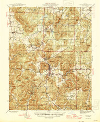
1946 Map of Ironton
USGS Topo · Published 1946About this map
Taum Sauk Mountain dominates the southwestern quadrant of this St. Francois Mountain survey, standing as the highest point in Missouri during this mid-century period. The landscape is a complex of igneous knobs and narrow valleys, where the mining operations at Iron Mountain and the shipping hubs of Ironton and Arcadia define the local economy. The Missouri Pacific railroad corridor serves as the primary artery connecting these settlements, winding through the gap between Shepherd Mountain and Pilot Knob.
Find a feature on this map
106 named features on this map. Tap any name to fly to it.
Don’t see what you’re looking for? This feature index may not catch every label — zoom into the map to look around manually.
Map Details
Editions of this 1946 Ironton Map
2 editions found
Other maps of this area

1904 · Farmington
USGS Topo · 1:62,500

1905 · Bonneterre
USGS Topo · 1:62,500

1906 · Potosi
USGS Topo · 1:62,500

1906 · Farmington
USGS Topo · 1:62,500

1924 · Edgehill
USGS Topo · 1:62,500

1926 · Edgehill
USGS Topo · 1:62,500

1926 · Des Arc
USGS Topo · 1:62,500

1929 · Des Arc
USGS Topo · 1:62,500

1930 · Coldwater
USGS Topo · 1:62,500

1937 · Ironton
USGS Topo · 1:48,000