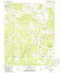
1980 Map of Wachita Mountain
USGS Topo · Published 1986About this map
Doe Run and the surrounding mining landscape of St Francois County define this era in Missouri's Lead Belt. The map reveals a region transitioning from its heavy industrial roots, evidenced by the large Mine Dump and numerous Quarry sites, toward conservation and recreation within the Mark Twain National Forest. The St Francis River winds through a complex topography of named peaks like Wachita Mountain and Knob Lick Mtn, the latter featuring the prominent Knob Lick Tower.
Find a feature on this map
63 named features on this map. Tap any name to fly to it.
Don’t see what you’re looking for? This feature index may not catch every label — zoom into the map to look around manually.
Map Details
Editions of this 1980 Wachita Mountain Map
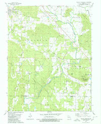
2 editions found
Other maps of this area

1904 · Farmington
USGS Topo · 1:62,500

1905 · Bonneterre
USGS Topo · 1:62,500

1906 · Farmington
USGS Topo · 1:62,500

1937 · Ironton
USGS Topo · 1:48,000

1939 · Fredericktown
USGS Topo · 1:48,000

1945 · Ironton
USGS Topo · 1:62,500

1946 · Ironton
USGS Topo · 1:62,500

1947 · Fredericktown
USGS Topo · 1:62,500

1949 · Rolla
USGS Topo · 1:250,000

1950 · Fredericktown
USGS Topo · 1:62,500