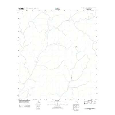
2012 Map of Flat Rock Creek North
USGS Topo · Published 2012About this map
Indian Gap provides a prominent natural landmark in this drainage-carved section of Edwards County, where the topography is defined by the winding paths of ephemeral streams. The landscape is dominated by the sprawling watersheds of Sycamore Cr and Flat Rock Cr, which create a complex network of seasonal draws and canyons across the territory. Human presence is concentrated along a few key transit corridors, primarily Ranch Road 2523 and several rural routes like Co RD-27. This 2012 survey illustrates the typical remote ranchland character of the Texas Hill Country, showing how the local road network follows the easier grades of the creek beds and gaps rather than cutting across the higher elevations of the surrounding plateau.
Find a feature on this map
7 named features on this map. Tap any name to fly to it.
Don’t see what you’re looking for? This feature index may not catch every label — zoom into the map to look around manually.
Map Details
Editions of this 2012 Flat Rock Creek North Map
This is the sole edition of this map. No revisions or reprints were ever made.
Other maps of this area

1893 · Nueces
USGS Topo · 1:125,000

1896 · Nueces
USGS Topo · 1:125,000

1943 · Carta Valley
USGS Topo · 1:62,500

1944 · Flat Rock
USGS Topo · 1:62,500

1944 · Indian Creek
USGS Topo · 1:62,500

1944 · Indian Mountain
USGS Topo · 1:62,500

1958 · Del Rio
USGS Topo · 1:250,000

1964 · Del Rio
USGS Topo · 1:250,000
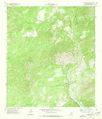
1974 · Twomile Draw
USGS Topo · 1:24,000
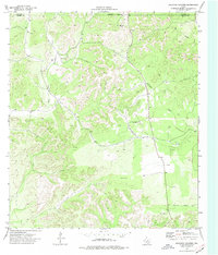
1974 · Kickapoo Caverns
USGS Topo · 1:24,000