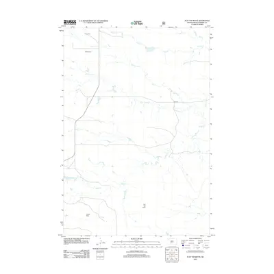
2012 Map of Flat Top Butte
USGS Topo · Published 2012About this map
The R Elling Ranch and H Millett Ranch anchor the northern landscape of this Harding County survey, illustrating the enduring agricultural patterns of the high plains. The terrain is defined by prominent topographical rises such as Flat Top Butte and Finger Butte, which stand as landmarks over an intricate network of seasonal drainages. Waterways including Crooked Cr, Dog Cr, and Rabbit Cr weave through the grasslands, occasionally pooling at named locations like Point Comfort. Transportation in this sparsely populated region is dominated by section-line tracks and the primary thoroughfare of Sorum Rd, reflecting the grid-based settlement and remote ranching economy characteristic of northwestern South Dakota in the early twenty-first century.
Find a feature on this map
10 named features on this map. Tap any name to fly to it.
Don’t see what you’re looking for? This feature index may not catch every label — zoom into the map to look around manually.
Map Details
Editions of this 2012 Flat Top Butte Map
This is the sole edition of this map. No revisions or reprints were ever made.
Other maps of this area

1935 · Reva
USGS Topo · 1:125,000

1935 · Hoover
USGS Topo · 1:125,000

1954 · Lemmon
USGS Topo · 1:250,000

1957 · Lemmon
USGS Topo · 1:250,000

1968 · Irish Butte
USGS Topo · 1:24,000

1968 · J B Hill
USGS Topo · 1:24,000

1968 · Reva
USGS Topo · 1:24,000

1968 · Sheep Mountain
USGS Topo · 1:24,000

1968 · Flat Top Butte
USGS Topo · 1:24,000

1969 · Battleship Rock
USGS Topo · 1:24,000