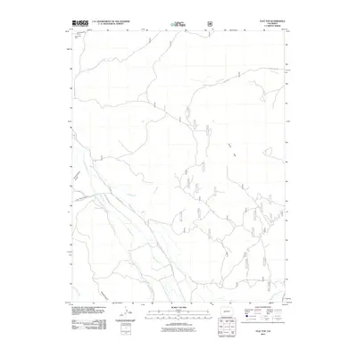
2011 Map of Flat Top
USGS Topo · Published 2011About this map
Mining history and irrigation infrastructure define this corner of Gunnison County, where the high-altitude landscape of Flat Top overlooks a complex network of man-made waterways. The presence of the Great Western Mine and Ohio Creek Mine in the northwest corner points to the mineral interests that historically drove development in this part of Colorado. Below these elevations, the management of water is evident through numerous named channels, including the Campbell Ditch, Teachout Ditch, and Lone Pine Ditch, which redirect flow across the terrain.
Find a feature on this map
22 named features on this map. Tap any name to fly to it.
Don’t see what you’re looking for? This feature index may not catch every label — zoom into the map to look around manually.
Map Details
Editions of this 2011 Flat Top Map
This is the sole edition of this map. No revisions or reprints were ever made.
Other maps of this area

1888 · Crested Butte
USGS Topo · 1:62,500

1888 · Anthracite
USGS Topo · 1:62,500

1889 · Crested Butte
USGS Topo · 1:62,500

1889 · Anthracite
USGS Topo · 1:62,500

1893 · Anthracite
USGS Topo · 1:62,500

1893 · Crested Butte
USGS Topo · 1:62,500

1894 · Anthracite
USGS Topo · 1:62,500

1954 · Mc Intosh Mountain
USGS Topo · 1:24,000

1954 · Gunnison
USGS Topo · 1:24,000

1956 · Montrose
USGS Topo · 1:250,000