
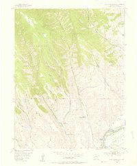
1954 Map of Mc Intosh Mountain
USGS Topo · Published 1955About this map
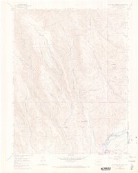
Ranching and early recreational developments characterize this mid-century landscape along the Gunnison River. Private holdings such as the Steuben Ranch, Steinbergen Ranch, and the Harris Hereford Ranch are situated in the lower valleys, reflecting the region's agricultural heritage before modern expansion. Along the river, the presence of the Neversink Resort and Coopers Resort indicates the growing importance of tourism and river-based leisure in the Gunnison area during the 1950s. High country to the north and west is dominated by the Gunnison National Forest, where steep drainages like Mc Kinley Gulch and Tommy Long Gulch descend from peaks such as Mc Intosh Mountain. The network of irrigation features, simply labeled as Ditch, illustrates the essential management of water moving from mountain streams like Antelope Creek and Beaver Creek to the valley floor.
Find a feature on this map
27 named features on this map. Tap any name to fly to it.
Don’t see what you’re looking for? This feature index may not catch every label — zoom into the map to look around manually.
Map Details
Editions of this 1954 Mc Intosh Mountain Map
8 editions found
Other maps of this area

1908 · Uncompahgre
USGS Topo · 1:125,000

1911 · Uncompahgre
USGS Topo · 1:125,000

1954 · Iris NW
USGS Topo · 1:24,000

1954 · Iola
USGS Topo · 1:24,000

1954 · West Elk Peak SW
USGS Topo · 1:24,000

1954 · Gunnison
USGS Topo · 1:24,000

1954 · Cebolla
USGS Topo · 1:24,000

1956 · Montrose
USGS Topo · 1:250,000

1959 · Montrose
USGS Topo · 1:250,000

1960 · Montrose
USGS Topo · 1:250,000