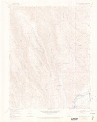
1954 Map of Mc Intosh Mountain
USGS Topo · Published 1973About this map
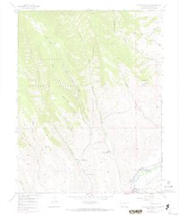
Harris Hereford Ranch and Steuben Ranch occupy the lowlands of the Gunnison River valley in this 1954 survey, which was photorevised in 1970 to reflect the arrival of the Blue Mesa Reservoir. The landscape is a complex network of deep drainage gulches, including Tommy Long Gulch and Reed Gulch, that feed into Steuben Creek as it flows south toward the river. High-elevation landmarks like Mc Intosh Mountain and the expansive Sun Park overlook the valley floor, where human activity is marked by established cattle operations and the early development of recreational sites such as Neversink Resort. The transition from riverine ranching to reservoir-based geography is clearly visible, with portions of the southern terrain labeled as abandoned following the changes to the water levels and infrastructure in the Gunnison National Forest region.
Find a feature on this map
29 named features on this map. Tap any name to fly to it.
Don’t see what you’re looking for? This feature index may not catch every label — zoom into the map to look around manually.
Map Details
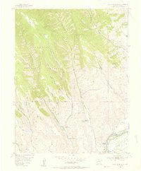
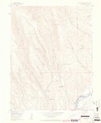
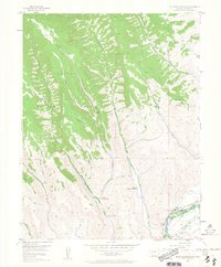
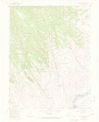
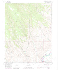
Editions of this 1954 Mc Intosh Mountain Map
8 editions found
Other maps of this area

1908 · Uncompahgre
USGS Topo · 1:125,000

1911 · Uncompahgre
USGS Topo · 1:125,000

1954 · Iris NW
USGS Topo · 1:24,000

1954 · Iola
USGS Topo · 1:24,000

1954 · Mc Intosh Mountain
USGS Topo · 1:24,000

1954 · West Elk Peak SW
USGS Topo · 1:24,000

1954 · Gunnison
USGS Topo · 1:24,000

1954 · Cebolla
USGS Topo · 1:24,000

1956 · Montrose
USGS Topo · 1:250,000

1959 · Montrose
USGS Topo · 1:250,000