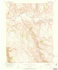
1954 Map of West Elk Peak SW
USGS Topo · Published 1955About this map
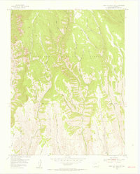
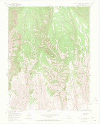
Gunnison National Forest dominates this mid-century landscape, characterized by a complex network of high-altitude drainages and timbered ridges in the Colorado Rockies. The map reveals the historical names of specific landforms, such as Slab Mill Gulch and Burnt Mill Gulch, which suggest the area's early connection to logging and small-scale timber processing. In the southern portion of the sheet, the terrain opens into the broader Dillon Mesa near Tenderfoot Hill. This transition from the narrow, steep-walled canyons of West Elk Creek and Red Creek to the mesa tops illustrates the varying elevations that shaped grazing and transport patterns in the mid-1950s. A singular Jeep Trail provides one of the few named avenues through the dense gulches, highlighting the limited accessibility of this high-country terrain during the post-war era.
Find a feature on this map
41 named features on this map. Tap any name to fly to it.
Don’t see what you’re looking for? This feature index may not catch every label — zoom into the map to look around manually.
Map Details
Editions of this 1954 West Elk Peak SW Map
6 editions found

Other maps of this area

1908 · Uncompahgre
USGS Topo · 1:125,000

1911 · Uncompahgre
USGS Topo · 1:125,000
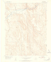
1954 · Iola
USGS Topo · 1:24,000
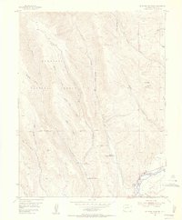
1954 · Mc Intosh Mountain
USGS Topo · 1:24,000
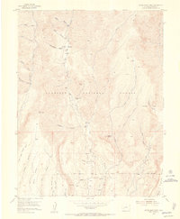
1954 · Little Soap Park
USGS Topo · 1:24,000
1954 · Cebolla
USGS Topo · 1:24,000
1954 · Sapinero
USGS Topo · 1:24,000

1956 · Montrose
USGS Topo · 1:250,000

1959 · Montrose
USGS Topo · 1:250,000

1960 · Montrose
USGS Topo · 1:250,000