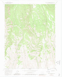
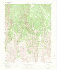
1954 Map of West Elk Peak SW
USGS Topo · Published 1980About this map
Gunnison National Forest terrain dominates this mid-century survey, revealing a landscape defined by an intricate network of drainages and named gulches. The drainage pattern indicates a history of localized activity, with specific names like Slab Mill Gulch and Burnt Mill Gulch suggesting early timber or milling operations that preceded the 1950s aerial photography. High-elevation features such as Lion Elk Park and the prominent Mesa in the southwest corner overlook a series of creeks, including West Elk Creek and the many forks of Frying Pan Creek.
Find a feature on this map
37 named features on this map. Tap any name to fly to it.
Don’t see what you’re looking for? This feature index may not catch every label — zoom into the map to look around manually.
Map Details
Editions of this 1954 West Elk Peak SW Map
6 editions found
Other maps of this area

1908 · Uncompahgre
USGS Topo · 1:125,000

1911 · Uncompahgre
USGS Topo · 1:125,000

1954 · Iola
USGS Topo · 1:24,000

1954 · Mc Intosh Mountain
USGS Topo · 1:24,000

1954 · West Elk Peak SW
USGS Topo · 1:24,000

1954 · Little Soap Park
USGS Topo · 1:24,000

1954 · Cebolla
USGS Topo · 1:24,000

1954 · Sapinero
USGS Topo · 1:24,000

1956 · Montrose
USGS Topo · 1:250,000

1959 · Montrose
USGS Topo · 1:250,000