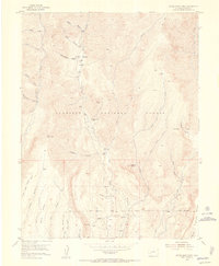
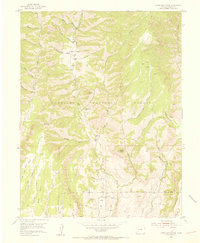
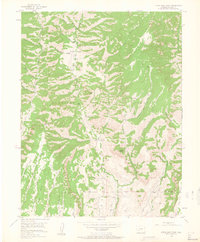
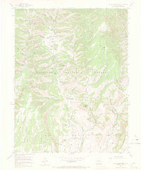
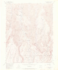
1954 Map of Little Soap Park
USGS Topo · Published 1955About this map
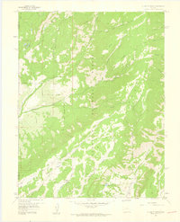
Gunnison National Forest dominates this high-altitude terrain, where the landscape is defined by the deep drainage of Soap Creek and its many tributaries. In the mid-1950s, the area’s utility is reflected in the remote Uranium Mine tucked between Cow Creek and Oregon Gulch, a testament to the era's prospecting boom. A network of primitive routes and a dedicated Pack Trail provide access across the steep topography of Pearson Point and through Little Soap Park.
Find a feature on this map
37 named features on this map. Tap any name to fly to it.
Don’t see what you’re looking for? This feature index may not catch every label — zoom into the map to look around manually.
Map Details
Editions of this 1954 Little Soap Park Map
6 editions found

Other maps of this area

1908 · Uncompahgre
USGS Topo · 1:125,000

1911 · Uncompahgre
USGS Topo · 1:125,000
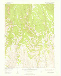
1954 · West Elk Peak SW
USGS Topo · 1:24,000
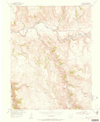
1954 · Cebolla
USGS Topo · 1:24,000
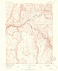
1954 · Sapinero
USGS Topo · 1:24,000

1956 · Curecanti Needle
USGS Topo · 1:24,000

1956 · Montrose
USGS Topo · 1:250,000
1957 · X Lazy F Ranch
USGS Topo · 1:24,000

1959 · Montrose
USGS Topo · 1:250,000

1960 · Montrose
USGS Topo · 1:250,000