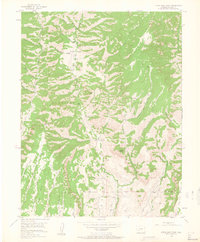
1954 Map of Little Soap Park
USGS Topo · Published 1963About this map
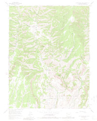
Gunnison National Forest terrain dominates this mid-century topographic study, defined by the deep drainage of Soap Creek and its many converging gulches. The landscape reflects a mix of early 1950s land use, from recreational sites like the Commissary Gulch Campground and Soap Creek Campground to the industrial presence of a Uranium Mine located near Spring. High-elevation landmarks such as Pearson Point and VABM Oregon 10029 provide significant vertical relief over the basins of Little Soap Park. Evidence of early agricultural or ranching infrastructure is visible at the Sheep Pen and along the water management lines of the Plume Ditch. This 1954 field check captures the area's intricate network of Pack Trails and unimproved dirt roads that connected these high-country outposts before modern developments altered the access routes into the Dillon Mesa region.
Find a feature on this map
40 named features on this map. Tap any name to fly to it.
Don’t see what you’re looking for? This feature index may not catch every label — zoom into the map to look around manually.
Map Details
Editions of this 1954 Little Soap Park Map
6 editions found
Other maps of this area

1908 · Uncompahgre
USGS Topo · 1:125,000

1911 · Uncompahgre
USGS Topo · 1:125,000

1954 · West Elk Peak SW
USGS Topo · 1:24,000

1954 · Little Soap Park
USGS Topo · 1:24,000

1954 · Cebolla
USGS Topo · 1:24,000

1954 · Sapinero
USGS Topo · 1:24,000

1956 · Curecanti Needle
USGS Topo · 1:24,000

1956 · Montrose
USGS Topo · 1:250,000

1957 · X Lazy F Ranch
USGS Topo · 1:24,000

1959 · Montrose
USGS Topo · 1:250,000