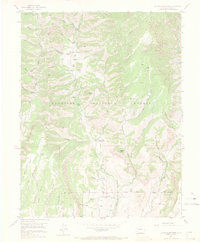
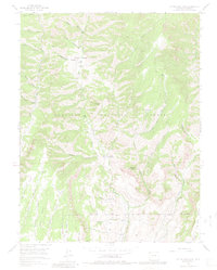
1954 Map of Little Soap Park
USGS Topo · Published 1971About this map
Uranium Mine sits high in the central terrain of this mid-century survey, a marker of the era's prospecting activity within the Gunnison National Forest. The landscape is defined by the drainage systems of Soap Creek and Curecanti Creek, which carve deep paths through the high country. Local travel and land use are centered around traditional mountain corridors, including a designated Pack Trail and early forest recreation sites like Commissary Gulch Campground and Soap Creek Campground.
Find a feature on this map
31 named features on this map. Tap any name to fly to it.
Don’t see what you’re looking for? This feature index may not catch every label — zoom into the map to look around manually.
Map Details
Editions of this 1954 Little Soap Park Map
6 editions found
Other maps of this area

1908 · Uncompahgre
USGS Topo · 1:125,000

1911 · Uncompahgre
USGS Topo · 1:125,000

1954 · West Elk Peak SW
USGS Topo · 1:24,000

1954 · Little Soap Park
USGS Topo · 1:24,000

1954 · Cebolla
USGS Topo · 1:24,000

1954 · Sapinero
USGS Topo · 1:24,000

1956 · Curecanti Needle
USGS Topo · 1:24,000

1956 · Montrose
USGS Topo · 1:250,000

1957 · X Lazy F Ranch
USGS Topo · 1:24,000

1959 · Montrose
USGS Topo · 1:250,000