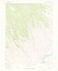
1954 Map of Mc Intosh Mountain
USGS Topo · Published 1973About this map
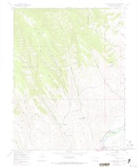
Gunnison River corridors and ranching operations define this mountainous landscape within the Gunnison National Forest during the mid-20th century. Working properties like the Harris Hereford Ranch and Steuben Ranch occupy the lower elevations near Beaver Creek, while recreation-focused sites such as Coopers Resort and Neversink Resort sit along the riverbanks. The mapping reveals a transition in land use as the Blue Mesa Reservoir South begins to shape the hydrology of the area. Significant water management is evident through features like the Willow Creek Ditch, vital for high-altitude agriculture. Higher elevations are dominated by landmarks such as Mc Intosh Mountain and the open expanse of Sun Park, reached only by a network of primitive tracks and a noted Jeep Trail.
Find a feature on this map
27 named features on this map. Tap any name to fly to it.
Don’t see what you’re looking for? This feature index may not catch every label — zoom into the map to look around manually.
Map Details
Editions of this 1954 Mc Intosh Mountain Map
8 editions found
Other maps of this area

1908 · Uncompahgre
USGS Topo · 1:125,000

1911 · Uncompahgre
USGS Topo · 1:125,000

1954 · Iris NW
USGS Topo · 1:24,000

1954 · Iola
USGS Topo · 1:24,000

1954 · Mc Intosh Mountain
USGS Topo · 1:24,000

1954 · West Elk Peak SW
USGS Topo · 1:24,000

1954 · Gunnison
USGS Topo · 1:24,000

1954 · Cebolla
USGS Topo · 1:24,000

1956 · Montrose
USGS Topo · 1:250,000

1959 · Montrose
USGS Topo · 1:250,000